The catchment
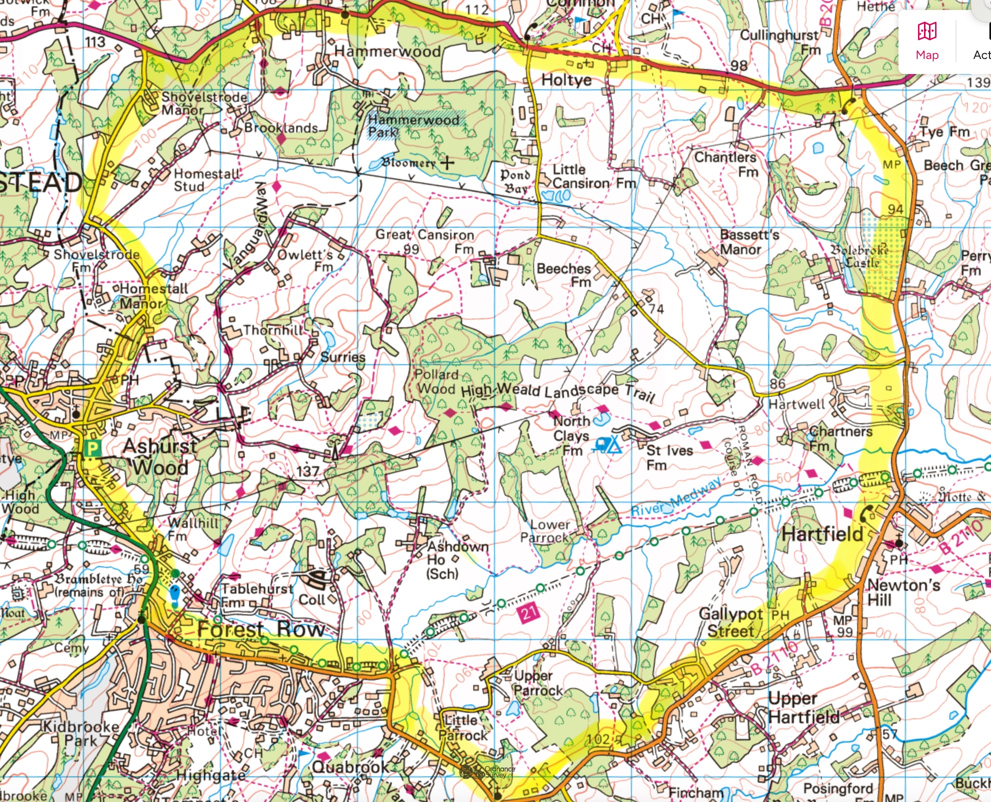
The Medway rises in the High Weald and flows eastward into Kent before turning north to the estuary. The cluster works across the upper section of that catchment — the headwaters and tributaries above the confluence with the River Eden near Penshurst. This is a landscape of small farms, ancient woodland, hedged fields, ghyll streams and springs — the kind of intimate, intricate countryside that makes the High Weald what it is.
It is also a landscape that sits at the top of a hydrological chain. What happens here — how water moves, how soils behave, how woodland is managed — affects communities and landscapes all the way downstream.
Our area within it
Cluster member holdings span roughly 700 hectares of this catchment, running from Ashdown Forest southwards and westwards into the parishes around Forest Row, East Grinstead and Hartfield. The holdings include:
- A substantial part of Ashdown Forest itself
- Registered historic parkland
- Working mixed farms and grazing holdings
- Orchards and horticultural holdings
- Woodland, wetland and riparian land along the Medway and Shovelstrode Stream
The result is a varied patchwork — no two holdings are the same — but one that sits within a single coherent geography.
The wider catchment
The cluster sits inside the Medway Upper Operational Catchment — the Environment Agency's formal hydrological unit for this stretch of the river. That catchment runs from the Medway's source at Turners Hill down to its confluence with the River Eden at Penshurst, taking in twelve water bodies including rivers and a reservoir along the way. It is classified as a predominantly rural catchment of agriculture and horticulture, with the larger urban areas of East Grinstead, Crowborough and Tunbridge Wells sitting within it.
The Medway Upper Operational Catchment is itself part of the Medway Management Catchment, within the Thames River Basin District. The cluster area is the rural headwaters portion of this wider framework — a single contiguous community of land stewards within a much larger hydrological system.
Environment Agency reference: Medway Upper Operational Catchment (ID 3494) on the EA catchment planning portal. The EA page lists water-body status, pressures and objectives for each of the twelve water bodies in the catchment.
Interactive map — the official catchment boundary
The polygon below is the Environment Agency's published boundary for the Medway Upper Operational Catchment, drawn from their open-data GeoJSON feed. The red marker shows the approximate centre of the cluster area — a rural slice in the headwaters portion.
Why catchment-scale matters
Many of the interventions that matter most — slowing the flow of water, restoring soils, giving wildlife somewhere to move to — only really work at scales larger than a single farm. A bank of new hedgerow planted on one holding is more valuable if the neighbouring holding's hedgerow connects to it. A wet-woodland restoration upstream benefits every landowner and every river-user downstream. Deer-management agreements that stop at a fence line do not manage deer. The cluster is how we do this sort of work at the scale it actually requires.